
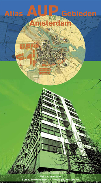
Atlas AUP Gebieden Amsterdam


- Explore the post-war suburbs of Amsterdam
- An exciting book for residents, urbanists, architects and tourists
- Contains 10 detailed maps (scale 1:3500)
Authors: Esther Agricola, Yttje Feddes, Maurits de Hoog, Vincent van Rossem, Marina Roosebeek, Jeroen Schilt, Jouke van der Werf
Editors: Jouke van der Werf, Marina Roosebeek, Jeroen Schilt, Astrid Vorstermans, Hélène Hartman
Photography: Bart Sorgedrager
Design: Frank Beekers
2013, Valiz with Bureau Monumenten & Archeologie (BMA) | supported by OntwikkelAlliantie (Gemeente Amsterdam), Stadsdelen Noord, Oost, Zuid, West and Nieuw-West | book case with paperback | 128 pp. | 30,5 x 17 cm (h x w) | Dutch, summary in English | ISBN 978-90-78088-42-4
In the media:
- Read here the review on Atlas AUP Gebieden Amsterdam in Blauwe Kamer
Atlas AUP Gebieden Amsterdam provides insight into the cultural, historical, architectural and urbanist appreciation of the post-war suburbs of Amsterdam (AUP = Algemeen Uitbreidings Plan, elaboration of the General Extension Plan, 1935-1970). These suburbs are seen as a milestone within the urban development and history of the Netherlands.
This bookcase consists of thematic articles, a set of detailed topographic maps of the AUP-areas and a beautiful photo essay by Bart Sorgedrager, which show the interrelationships between urban development, infrastructure, parks and buildings.